

The Pope Route / Italian Normal Route
Mont Blanc 4,810m
The Pope Route on Mont Blanc, also known as the Italian Normal Route, is a wild and much less frequented route on Western Europe's highest peak. It's long and involved approach combined with a long and involved climb, make it a much more challenging option than the Normal Route of Mont Blanc via the French side. The added challenge does have its benefits though!
This blog explores the challenges, hazards and highlights of the Pope Route on Mont Blanc.
Overview | The Pope Route of Mont Blanc
The Pope Route on Mont Blanc starts in Val Veny near Courmayeur, Italy. The route starts with a hike up a flat glacier covered in talus, moves onto steep rock with via ferrata up to a beautiful hut and ascends a heavily crevassed glacier and knife-edge ridges until it meets the French normal route. The Pope Route provides a refreshing alternative to other routes on Mont Blanc, even if it is significantly more physically demanding that the Goûter Route.
Despite being a more physically taxing route, the Pope Route has a lot to offer fit, experienced climbers. It is climbed by far fewer people and offers a taste of a remote mountain experience, even if it is still fairly well travelled. Many climbers noted that they saw no other parties on the approach into the Gonella hut, which adds a remote feel to the climb.
Statistics | The Pope Route of Mont Blanc
Approach to Gonella: 5-7 hrs 7 miles, 4800’ (11.4 km, 1470m)
Gonella to Summit: 6-8 hrs 4 miles, 5,700’ (6.5 km, 1740m)
Hazards:
- Complex glaciated terrain on the Glacier du Dôme
- Rockfall from the Aiguilles Grise while traversing the glacier
- Serac Fall
- Avalanche hazard on the slopes on the approach and Glacier du Dôme
- Inclement Mountain Weather
Technical Difficulty:
- Complex Glacier travel
- Knife Edge Ridges
- Steep snow
- Exposed 3rd and 4th class rock movement gaining the Aiguille Grise
The Approach | The Pope Route of Mont Blanc

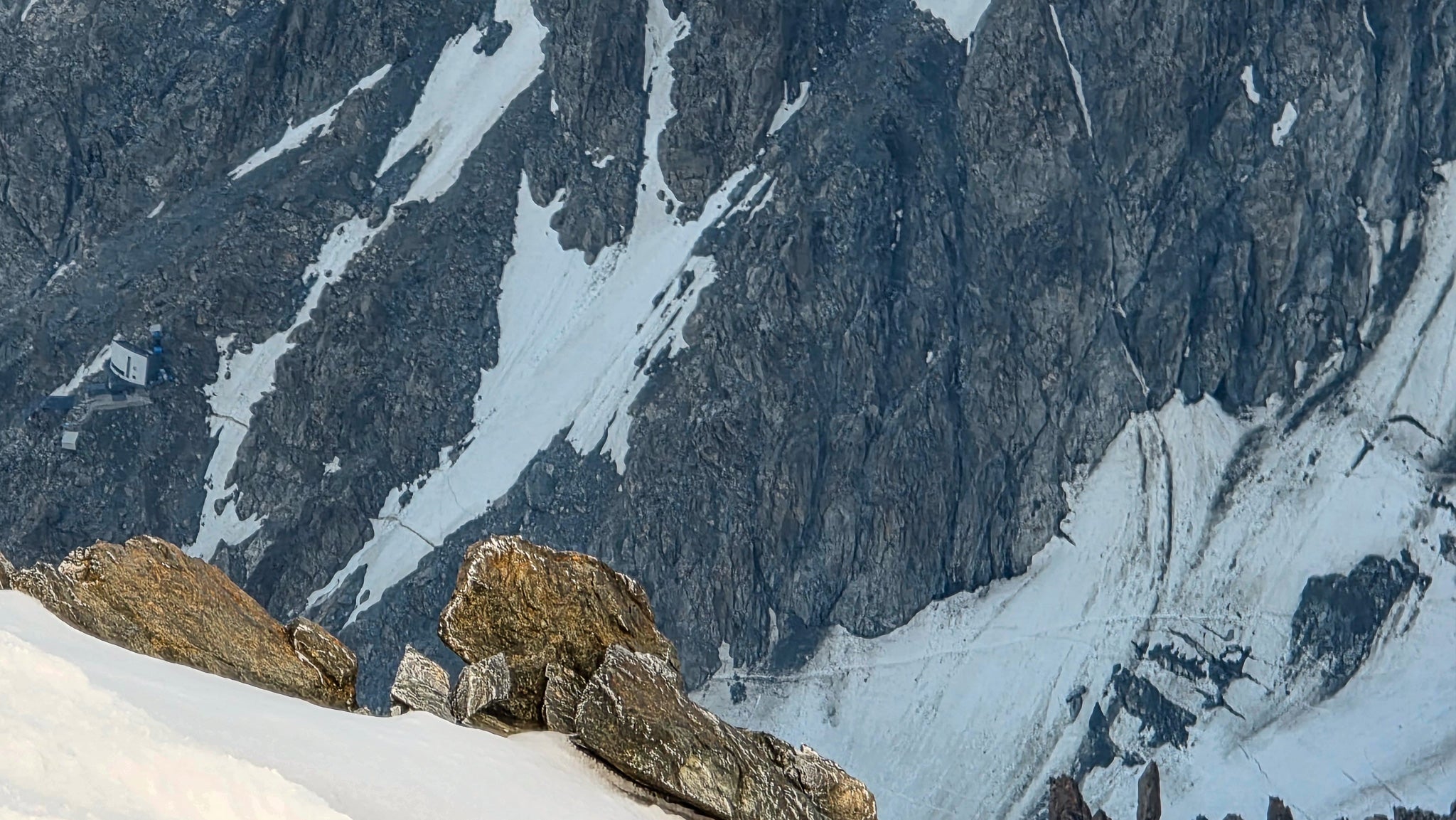
The approach to the Rifugio Gonella on the Pope Route of Mont Blanc is a long hike on rugged terrain. It starts in Val Veny, Italy and ends at 3,080m at the Gonella Hut, a modern Rifugio perched high above the Glacier du Dôme.
The hike begins on easy ground, either from the bus stop near the Chalet del Miage or the Val Veny Paid Parking lot. The parking lot adds an extra 15 minutes to the hike, but it's an enjoyable and well shaded hike next to the beautiful Dora River of Veny (Fiume Dora di Veny). After the Chalet, the route continues on an access road that's closed to public vehicles and is a nice easy way to warm up the legs on the hike into the mountains.

This road continues to the Cabane du Combal, a beautiful refuge with food, drinks and rooms available. Just behind the Cabane, a trail leads to the Glacier du Miage. From here, the trail is a braided climbers trail until it veers sharply up the Pyramid des Aiguilles Gris, the large rock buttress that separates the Glacier du Miage from the Glacier du Dôme.

The Glacier du Miage is not easy for everyone to navigate. At first glance, it looks like a dry valley, covered in talus. In reality, the talus is sitting on the top of the living glacier, making it challenging to establish and maintain a consistent trail. Climbers will have to rely on their navigation skills to find the best way through the miles of broken talus, linking widely spaced cairns large, painted yellow dots together. The best route will most likely not strictly follow the dots or cairns, but will follow the path of least resistance based on glacier travel experience. Some groups will find this to be an easy hike, while others find it adds hours to their day.
At the Pyramid des Aiguilles Grises, the trail cuts right off the Glacier du Miage and connects to a steep, rocky trail. A combination of bedrock, dirt and loose rock, the trail winds across a face that looks unlikely to impassable when viewed from the start of the hike. On this trail, the travel is good, but still requires a bit of route-finding attention, as getting off the route will mean walking on loose rock and dirt on steep and exposed terrain.

As the trail continues up to the Gonella Hut, there are multiple sections of via ferrata (fixed steel hardware, ropes, ladders and chains) to aid the ascent. Some climbers may find this physically and mentally taxing, and if you find that's the case for you, you should seriously reconsider the rest of the route - there's plenty of exposure and challenging terrain on the actual route! There are also a couple of snow patches to traverse between the rock sections.
The approach ends with Via Ferrata right up to the beautiful and modern Gonella Hut. The hut is small, but well laid-out with a comfortable dining room and porch overlooking the Glaciers du Dôme and Miage. There are power outlets and running water available for free and soft drinks, pasta and pastries can be purchased with cash or credit card (if the machine is working).
The Climb | The Pope Route of Mont Blanc
The Pope Route of Mont Blanc begins from the Gonella Hut. A climber's trail winds across steep, rocky terrain on the Pyramid des Aiguilles Grises, crossing an exposed snow slope before a short rock step protected with a cable drops climbers onto the Glacier du Dôme.
The route on the Glacier du Dôme traverses under steep terrain and weaves through complex glaciated terrain. The trail changes depending on the crevasses and snow bridges, but generally it tracks nearly due north up the glacier towards the Aiguille Grises.
The route gains the Aiguille Grise just above the Col des Aiguilles Grises, southwest of the Piton des Italiens. This section is steep and crosses a bergshrund, then gains a short rock step that is difficult to protect for the follower due to low rock quality and loose rock (a suitable terrain belay may be available, but it's tricky to find).

On the Aiguilles Grises, the terrain is a loose, blocky ridge with steep slopes on either side. This terrain eventually yields to a knife-edge snow ridge leading toward the Dôme du Goûter. This section is very exposed, but with calm or light wind and a good track it is fairly straight forward.
After a hundred meters or so, the ridge broadens and feeds into the Dôme du Goûter. A bergshrund crossing in the bulge of the Dôme is the biggest hurdle of this section, but seems to be easily passed on either side if it's an open crevasse. Once past this 'shrund, the route joins the Normal Route on Mont Blanc at the Col du Dôme.

The Descent | The Pope Route of Mont Blanc
There are many descent options for of the Pope Route of Mont Blanc. From the summit climbers have the option to descend any of the main routes, each with its own pros and cons. Depending on your logistics (if you parked a car somewhere, need to return to a hotel or AirBNB, etc), your fitness and what type of terrain you feel comfortable descending, you can choose to return:
- Back down the Pope Route
- Down the Goûter/Normal Route to the Goûter Hut
- Down the Goûter/Normal Route to the Tramway du Mont Blanc at the Nid dÁigle.
- Descend the Trois Monts Route to the Aiguille du Midi Cable Car.
Regardless of the descent option you choose, make sure to research the conditions on the descent option of your choice and have a plan for where you will spend the night or what lifts you intend to take down. Hut guardians should be able to get conditions reports from other hut guardians, but conditions can change fast and be prepared to find something you didn't expect on a route you haven't travelled.
The Goûter is the easiest route to descend, but leaves you to deal with the Grand Couloir late in the day unless you stop at the Goûter Hut. The couloir might not feel great to cross late in the day, so understanding what the rockfall and/or avalanche hazard has been like recently will help you make a better decision there.
The Trois Monts can be a challenging route to descend based on conditions. It really depends on snow conditions and route traffic and can melt out to ice later in the season. If this is your chosen descent, make sure you have enough rope and gear. Consider what you need to rappel, downclimb steep terrain and cross wide and steep bergschrunds.

Climb Mont Blanc with Blackbird Mountain Guides
Our IFMGA guides know all about the best approaches to climbing Mont Blanc our office team will sort out all of the logistics for you! From trains, cable cars and buses to hut bookings, start times and hazards on the route, our team will make sure everything runs as smoothly as it can on the mountain.
The best way prepare for Mont Blanc is to do a few days of Private Climbing with us or climb Gran Paradiso with us prior to summit attempt. This will help you acclimatize to the altitude and ensure that your skills are sharp before we rope up together and climb the highest peak in Western Europe!
Book ahead - Huts Sell Out extremely quickly and our guide team has limited availability! The best chance of success is to book a full year in advance to get the optimal times for hut reservations in the prime climbing season.
Climb Mont Blanc with Us!
We're happy to answer any questions you might have about the climb or our guides so reach out today!
About the Author
Zeb Blais is an IFMGA Mountain Guide based in Truckee California. He loves all the disciplines of mountain guiding - ski, rock and alpine climbing - and tries to spend as much time as he can in the French, Swiss and Italian Alps. He has summitted and skied Mont Blanc 8 times via 3 routes and loves showing his clients the splendor of Europe's highest peak.